More actions
| WiiEarth | |
|---|---|
 | |
| General | |
| Author | PaulWagener |
| Type | Utilities |
| Version | 2.3 |
| License | WTFPL |
| Last Updated | 2012/12/24 |
| Links | |
| Download | |
| Website | |
| Source | |
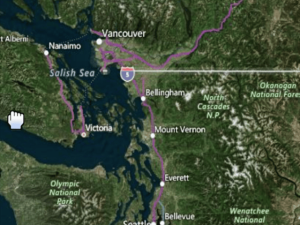
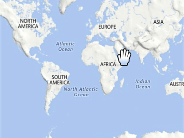
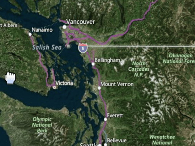
WiiEarth is a homebrew application that allows you to navigate the Earth using services such as Google Maps. You can switch between different viewing options, including OpenStreetMap, Live (Maps, Satellite), and Google (Maps, Satellite, Terrain).
However, as of April 2021, it has been reported that the Google Maps imagery is not working on this app, but Bing Maps is still accessible.
User guide
FAQ
Q. Is this even legal?
The current way it downloads from Live Maps is kind of shady, but the rest is legit.
Q. The program hangs/gives an exception/fails to load any data.
Yeah it does that, please reset your Wii and try again.
A. Can this hurt my Wii?
Yes, though it isn't designed to do that.
Please be careful with this and other homebrew.
Q. The Google imagery doesn't work, I keep getting this weird graphic.
There is a limit to how many tiles can be downloaded, after about 1000 tiles it stops working. It resets everyday.
Q. Can I use the source for...
Yes you can! Check the license for more details.
Controls
Minus/Plus - Zoom
A - Zoom into world (as of v2.1)
B - Grab world (as of v2.1)
D-Pad - Move map
2 - Change image source (Live Maps, Live Satellite, Google Maps, Google Satellite, Google Terrain)
1 - Change image source (reverse of above)
Home - Return
Screenshots


Media
Wii earth (52freddy52)
Changelog
Version 2.3
- New logo.
- Removed non-working OpenStreetMap.
- Added '1' button functionality which switches the image source back.
- Compiled with latest libogc.
Version 2.2
- Added widescreen support.
- Added always visible background tiles.
- Fixed graphical glitches in overlay text.
- Fixed tile downloading issues:
- Google out-of-bandwidth tiles no longer give graphical weirdness.
- More TCP support means less empty tiles.
- Some DNS issues solved.
Version 2.1
- Added Google images.
- Reversed A & B button.
Version 2
- Removed Google images (captcha problem).
- Added OpenStreetMap images.
- Way faster downloading of tiles.
- disappearing cursor problem fixed (since latest libogc was used).
- Cool new icon (thanks Wilsoff).
- Other cool stuff.
External links
- GBAtemp - https://gbatemp.net/threads/wiiearth-2-2.159726/
- WiiBrew - https://wiibrew.org/wiki/WiiEarth
