More actions
No edit summary |
No edit summary |
||
| Line 35: | Line 35: | ||
https://dlhb.gamebrew.org/dshomebrew/geods4.png | https://dlhb.gamebrew.org/dshomebrew/geods4.png | ||
https://dlhb.gamebrew.org/dshomebrew/geods5.png | https://dlhb.gamebrew.org/dshomebrew/geods5.png | ||
<!--BEGIN Online Emulator Section--> | |||
==Online Emulator== | |||
{{#tag:html| | |||
<div style='width:520px;height:390px;max-width:100%'><div id='game'></div></div> | |||
<script type='text/javascript'> | |||
{{DS EmulatorJS Settings}} | |||
EJS_core = 'nds'; | |||
EJS_gameName = "GeoDS"; | |||
EJS_gameUrl = 'https://dlhb.gamebrew.org/dshomebrew/geods.7z'; | |||
</script> | |||
{{EmulatorJS Loader}} | |||
}} | |||
{{DS Control Settings}} | |||
<!--END Online Emulator Section--> | |||
==Changelog== | ==Changelog== | ||
'''2009/02/17''' | '''2009/02/17''' | ||
Revision as of 10:34, 20 November 2023
| GeoDS | |
|---|---|
 | |
| General | |
| Author | CyBeRCeD |
| Type | Trivia |
| Version | 070209 |
| License | Mixed |
| Last Updated | 2009/02/07 |
| Links | |
| Download | |
| Website | |
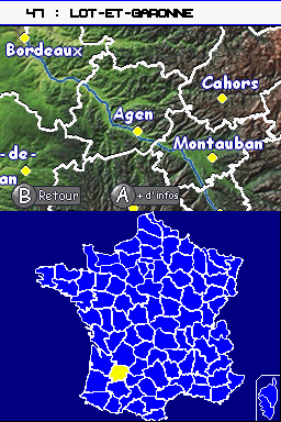
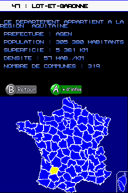
GeoDS (French) is a DS homebrew application to allow better understanding of the regions in France.
User Guide
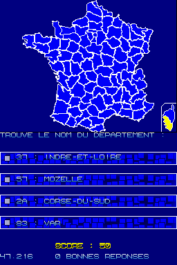
Guess the name of the displayed region.
Controls
Learning mode:
Stylus - Choose a region
R/L - Select the next/previous
A - More info
Test mode:
Stylus - Select correct answer in the MCQ
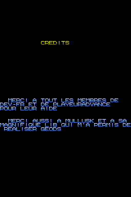
Screenshots
Online Emulator
| Nintendo DS | Keyboard |
|---|---|
Changelog
2009/02/17
- Improvement of the MCQ in the Test mode.
- Added French oversea region and territories in the Learning mode.
- Ability to save and view highscores.
- Added a custom font, kindly lend by Cid.
2008/12/14
- Added Corsica on the map, added a menu and a game to test your knowledge.
2008/11/29
- The pen detection is now much more accurate.
2008/11/28
- Possibility to display the next and previous departments with R and L.
- Added a LargeMap to create a zoom effect on the region and thus know its prefecture.
2008/11/20
- First version.
External links
- PlayerAdvance.org - http://www.playeradvance.org/forum/showthread.php?ltr=G&t=29390
